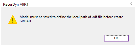
Two methods can be used to create the GRoad. One is to directly use the .rdf file and the other is to use the .rdf file after extracting the road patch data from the geometry. Before creating the GRoad, the user must save the model because the local path of the .rdf file is saved to the GRoad and the location of the rdyn file becomes the standard. If the user clicks Import GRoad or Face GRoad without saving the model, the following error message appears.
Figure 1 GRoad error message