It allows the user to enter Ground Mode in order to define a road terrain. The road data is used for the vehicle analysis such as Automotive Analysis and Low Mobility Tracked Vehicle Analysis. Because only one road terrain can be defined, the earlier generated terrain will be removed if the user tries to make the multiple road terrains. For references, when there are several levels of subsystems, the just road data defined in the current subsystem is available when performing a simulation.
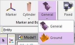
Figure 1 Ground icon of the Marker and Body group in the Professional tab
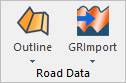
Figure 2 Road Data group in the Ground Mode